Sai Sha Road – Sha Tin Wai (Stage 4 & 5)
Saturday 4th February – 4h 25mins – 21.21km
Aboard the minibus back to Sai Kung, rain started to spit down. The clouds were already hanging low, not making for a particularly appealing day to go hiking.
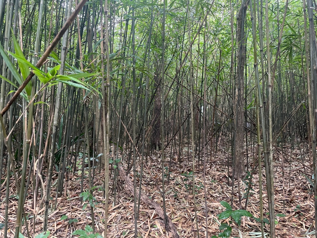
Still, at the start of the trail the weather was at least cool and fresh, and the first few kilometres are on paved roads, which is quite different to the scrambly, uneven Section 3. As I gently rose, I could see across the hills of Sai Kung, where I had trudged across in my most recent hikes, and the highest of which were disappearing into the mist. Eventually the path turns off-road, past thick bamboo forests and exposed, damp tree roots on the trail splayed out like giant spiders.


The end of the first arduous climb brings you out just below the summit of Ma On Shan, one of Hong Kong’s most distinctive mountains, and one that was flitting in and out of view as the mist rolled by. Up here it was freezing, and blowing a gale as I crossed the exposed ridge towards sharp Pyramid Hill.
Past this, you come out onto an open plateau, Nong Ping, with views down to Sai Kung town. On clear days, hang-gliders launch themselves off from here, but in today’s wind and mist there was a solitary radio-controlled glider doing loop-de-loops. Huge groups of hikers were congregated around (I have never understood Hong Konger’s need to hike en masse).


Having never actually done this hike in this direction, I was under the impression that it was plain, flat sailing from here to Sha Tin Pass. Of course, it wasn’t, and the constant inclines and declines along the route meant that I felt every inch of the trail. It started to rain again, though I have to admit that, the crowds far behind now, it was peaceful to walk along with the drops pit-a-patting off the leaves above me.


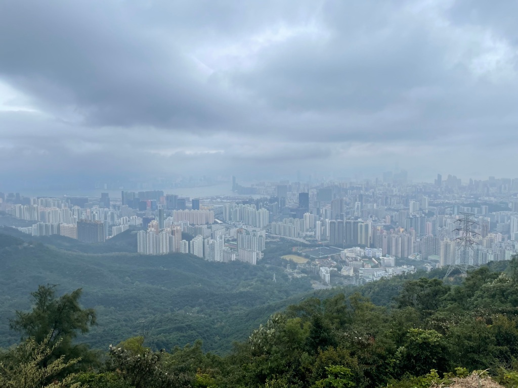
I slowly made my way around from Sai Kung, into Lion Rock country park. There were views out to Sha Tin, and Tolo Harbour, and of the Kowloon Peaks to come. The final climb, a zig-zagging trail up past Tate’s Cairn, was almost the final straw (it didn’t help that I was bursting for the toilet). I paused at one point near the top, held on to a thin tree-trunk for support, and when I sniffed my palm I had a Proustian rush back to the trees I’d climbed as child. I eventually made it to the top, and was shocked when a hawk came screeching out of the trees holding some poor little animal in its claws.


The trail at this point emerges out onto a road, and a sudden panorama of Kowloon in all its built-up glory shows you just how far you’ve come from the wilds of Sai Kung. I’d already done this stretch some months ago, as part of the Wilson Trail, and at a busy Sha Tin pass I turned off trail to meander down to Sha Tin Wai, and a very welcome MTR station.
